Great Southern Rail Trail
Great Southern Rail Trail & Tarra Trail
Cycle your way across Gippsland
A MULTI-USE, GENTLE TRAIL COVERING 14 TOWNS AND 130KM
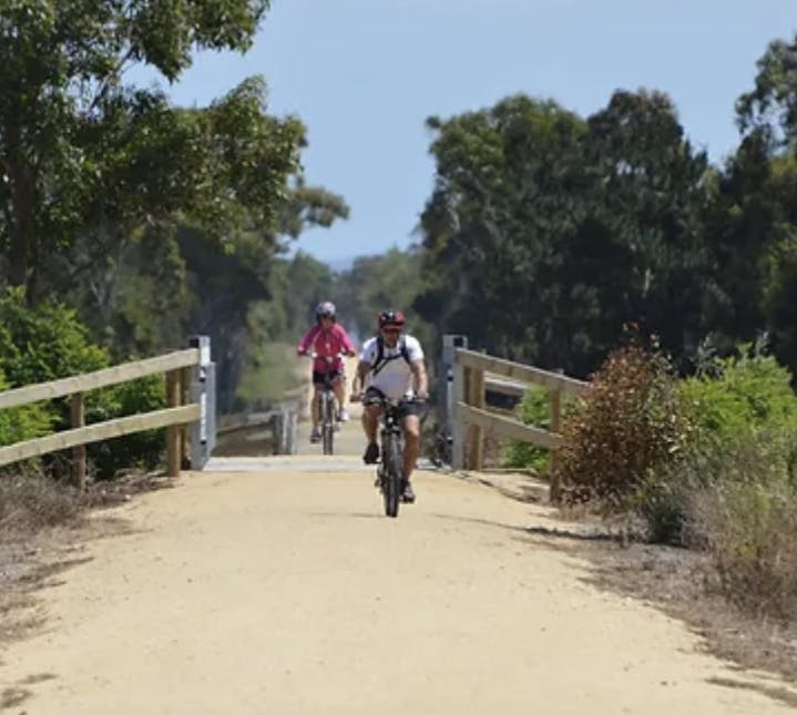
The Great Southern Rail Trail and Tarra Trail offer sights unseen from the highways as you cycle your way across Gippsland on the rail trails - a network of disused railways transformed into gently graded paths through bushland and rainforest, past valleys and vineyards, and along the stunning beauty of the coastline. Stretching from Nyora to Yarram, the 131km trail is the second longest rail trail in Australia and can easily be achieved in shorter sections. There are ample access points and villages along the route.
Port Albert - Alberton via Tarra Trail (8.6km)
The Tarra Trail is a walking or cycling trail from Port Albert to Yarram and follows the line of the historic Great Southern Railway route through picturesque countryside of rolling green hills. The old railway line branched off at Alberton to Yarram in the north and Port Albert, the original terminus of the line. Follow the trail to Alberton and from there you can either continue on to Yarram (6 km) or head towards Welshpool (22km).
The original South Gippsland line opened in 1892, joining Dandenong to Port Albert. Later, branch lines were opened known as Coal Lines (Korumburra), Jumbunna/Outtrim, Wonthaggi, Woodside and Strzelecki. The railway was important for the settlement and development of the area, particularly through providing transport to Melbourne for the coal, timber and dairy industries.
Alberton - Yarram (5.8km)
A short and easy ride on flat terrain.
Alberton - Welshpool (21km)
A flat straight trail passing through low-lying farmland.
Detour: Welshpool - Port Welshpool (5km)
From Welshpool, the connecting trail to the coast is initially an off-road shared path, then joins a quiet, unsealed road which follows the alignment of the horse-drawn Port Welshpool Tramway. An easy flat ride, the trail finishes at the Port Welshpool Foreshore Reserve.
Welshpool - Toora - Foster (19km)
The trail is flat and relatively straight from here as it runs through lush dairy country interspersed with eucalyptus around the watercourses. The wind turbines on the hill behind Toora are quite a sight to take in.
Foster - Fish Creek (12.4km)
Pass through lush farms as you head towards the highest point of the trail - a gentle climb for half of this 12.4km section. Once you reach the top, folow the signs towards the Hoddle Range Lookout where you will enjoy majestic views across to Corner Inlet. The next stage is a relaxing descent as you approach Station Park.
Fish Creek - Meeniyan (18.3km)
This diverse section of the trail offers views of productive pastures, giant gumtrees and flowing creeks. Meeniyan is a fabulous township to stop and explore - call into the Meeniyan Art Gallery and try one of the excellent eateries in town.


